seed zone maps
ʻŌhiʻa Seed Collection Zones
ʻŌhiʻa trees live from the shore to near the summit on all Hawaiian Islands, providing perfect examples of how native plants adapt into changing climates and onto new landscapes. Each has found a niche. When collecting ʻōhiʻa seeds for future use, it is important to keep information about the source trees to guide how the resulting plants should be used to preserve all the types of ʻōhiʻa.
Check out this link to a great resource on the use of Seed Zones for this purpose: Seeds Of Success
zones
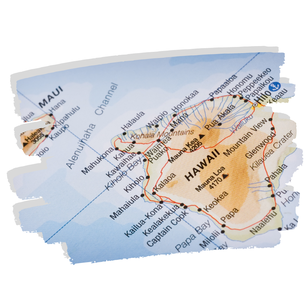
In order to make sure ʻōhiʻa seed collections maintain a high conservation value, we need to make sure we know where they came from and basic information about the source trees on the Collection Form. The links below will take you to recent maps we are using to track the progress of the ʻōhiʻa collections in each seed zone. As we learn more about the distribution and the types of ʻōhiʻa, these maps will be updated.
The Kauaʻi map was developed by Ben Nyberg, Seana Walsh and Dustin Wolkis from NTBG with Adam Williams from DOFAW. All other maps by Alex Loomis.
You must have permission to collect ʻōhiʻa seeds. For information on Hawaiʻi’s Forest Reserves, please visit their website: http://dlnr.hawaii.gov/forestry/frs/reserves/
Contact the Laukahi Network Coordinator at: coordinator@laukahi.org.
Laukahi has a growing number of partners that help to implement the Hawai‘i Strategy for Plant Conservation by supporting our initiatives, conducting field work to protect native habitats, propagate and secure propagules in ex situ facilities, and do research to inform strategies.
Mahalo to all our partners!